

Navigating the terrain (blog)

I have been doing a lot of cycling, as I mentioned previously, in order to view the terrain in the target area for the Earth Collective, prior to starting my property search. So, I thought I would share my preferred navigation system, as it’s a little unconventional.
I use maps software on the computer to plan the route in advance, and seem to have developed a good feel for what 25 miles looks like, which covers a reasonable area and provides a satisfactory workout. Then I use ‘street view’ to get a visual of the junctions, which is especially useful in Ireland where the lanes are tiny, junctions ambiguous and often lacking in signs. I memorise the route, eg. turn left, right, go straight on, along with the images of the junctions. If there are lots of twists and turns and I am concerned I might forget a few, I take a photo of the junctions on my computer screen, with my phone, which provides a backup of last resort...
Click here to read more.
Notes:
I have two new Substack features, ‘notes’ and ‘chat’, which allow me to communicate short messages in between posts. Both can be found in the top navigation of my Substack listing page.
You can find information about my book, ‘The Ultimate Relationship… the one with yourself’ and other content on my website.
If you like my work, please tell others. I don’t do social media and rely on personal recommendation to spread the word. Thank you.
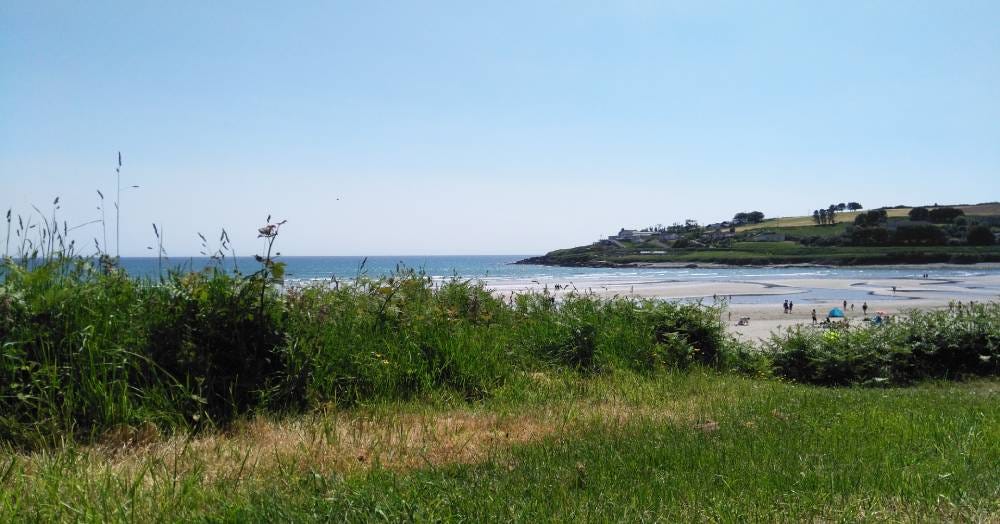
Inchydoney Beach, Clonakilty, Cork

Wow! I too memorise maps of where I need to go! Flat battery and fear of phone snatchers in the inner city some of my reasons. Clearly adventures in the Irish countryside offer the necessity of map memorisation. Downtown there is always someone to ask for directions.